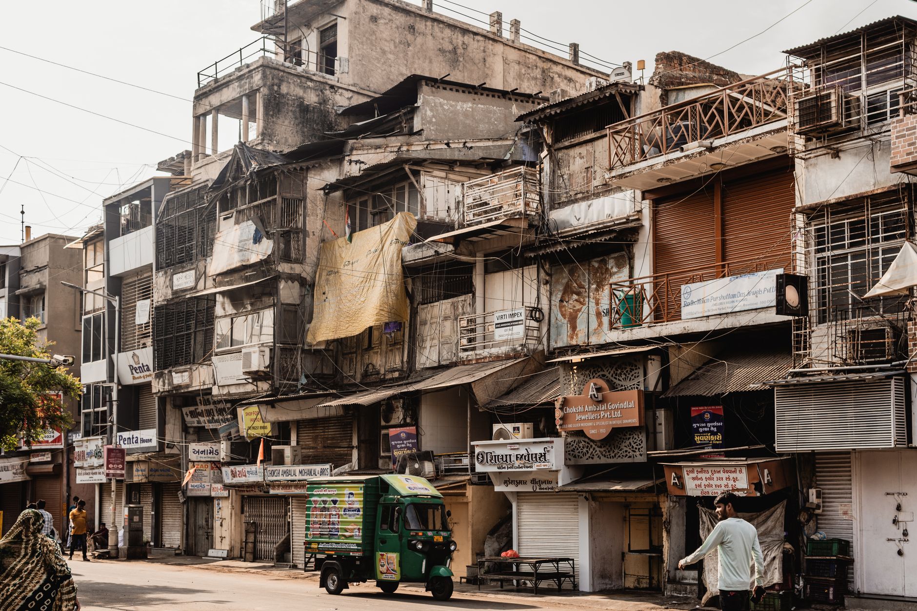
Dholera SIR was formed from 22 villages of Dholera taluka, a taluka carved from the former Dhandhuka taluka, on the Bhal coastal plain of Ahmedabad district, Gujarat. A full verified list of all 22 village names is not reliably sourced, so we give the count, not invented names. Census 2011 recorded Dholera village at 2,779 people in 576 households with 80.29 percent literacy. Land assembly here was litigated, with a 2015 Gujarat High Court stay on SIR acquisition.
The story of Dholera villages is the human foundation of the whole Special Investment Region. In short, Dholera SIR was formed from 22 villages of Dholera taluka, a taluka itself carved out of the former Dhandhuka taluka, on the flat Bhal coastal plain of Ahmedabad district in Gujarat. These were farming and coastal-belt villages, not a blank slate, and the region was assembled by pooling and acquiring their land. A full, verified list of all 22 village names is not reliably sourced, so this page gives the count and the context rather than inventing names, and it treats the one village with solid Census data, Dholera village itself, in detail.
This matters because the villages are where the project meets real people and real history. The land question here was not abstract; it was litigated, and understanding the villages is essential to understanding both the promise and the friction of Dholera.
How many villages make up Dholera SIR?
Dholera SIR was formed from 22 villages of Dholera taluka. That figure is the durable, sourced number, and it is the safest single fact to anchor on. These villages lie in the Bhal region, the low-lying coastal belt on the western shore of the Gulf of Khambhat, and their combined land is what the roughly 920 sq km planned region was built upon.
It is important to be precise about what we do and do not know. The count of 22 is reliable. A complete, verified list naming each of the 22 villages is not reliably sourced, and rather than repeat an unverified list that circulates on some sites, we deliberately give the number and the context instead. If you need the definitive roster, the place to obtain it is the official DSIRDA notification and revenue records, not a brochure. Our Dholera map guide shows where these villages sit within the region's boundary.
Which taluka and district do the villages belong to?
The villages belong to Dholera taluka in Ahmedabad district, and Dholera taluka was itself carved out of the former Dhandhuka taluka. This administrative lineage is not trivia; it has practical consequences that surface repeatedly in land and legal matters. Because the area historically sat under Dhandhuka, several official processes still route through Dhandhuka, most notably property registration.
For example, sale deeds for land in the Dholera area register at the Dhandhuka Sub-Registrar, and in real GUJRERA registration numbers you see both the DHOLERA and DHANDHUKA tags depending on the project's classification. So a buyer researching a plot will encounter Dhandhuka in the paperwork even though the marketing says Dholera. Knowing the taluka and district lineage prevents confusion when official documents name a place you were not expecting. Our Dholera plot registration process page explains where and how deeds are registered.
What is the Bhal region these villages sit in?
The Bhal is the flat, low-lying coastal plain along the Gulf of Khambhat where the Dholera villages are located, and it defines the character of the land. Historically the Bhal carried saline soils, seasonal waterlogging and a farming economy adapted to those tough conditions, with crops suited to the heavy, salt-affected black soil. It is open, largely treeless plain meeting tidal flats and mangroves at the coast.
This is the terrain the SIR had to work with, and it explains both why the land was relatively available for a large project and why servicing it is a heavy engineering task. The same flat coastal geography that made assembly feasible also brings the Coastal Regulation Zone and drainage constraints that shape where the city can actually be built. The villages, in other words, sat on land that was agriculturally marginal in places and environmentally sensitive in others, which is part of why the region was chosen and part of why development is complex. Our Dholera geography and climate page covers the Bhal terrain in depth.
What does Census 2011 tell us about Dholera village?
Census 2011 gives a clear snapshot of Dholera village, the one village in the group with solid published data, and it paints a picture of a small settlement rather than a town. Dholera village recorded a population of 2,779, made up of 1,420 males and 1,359 females, living in 576 households, with a literacy rate of 80.29 percent. The taluka-wide total across all villages is not reliably available, so we present the village figure and avoid extrapolating a regional population.
| Metric (Census 2011) | Dholera village |
|---|---|
| Total population | 2,779 |
| Male | 1,420 |
| Female | 1,359 |
| Households | 576 |
| Literacy rate | 80.29 percent |
The scale is worth sitting with. A flagship industrial region with a promotional long-range target of about 1 million residents is being built on and around villages where the namesake settlement counted fewer than 3,000 people in 2011. That gap between the existing rural reality and the planned future city is the essential context for everything else about Dholera. See our Dholera completion date page for how that future is staged.
What happened to the villagers' land?
The villagers' land was assembled through a mix of land pooling under Town Planning schemes and acquisition, and this process was genuinely contested. Under the Gujarat SIR Act 2009 and the Town Planning mechanism, original landowners contribute land and, in the pooling model, receive back a smaller but serviced Final Plot, while the authority retains land for roads, utilities and sale. In principle this shares the uplift; in practice, the transition from farmland to planned city was far from frictionless.
Land acquisition for the SIR was litigated. The Gujarat High Court stayed SIR acquisition in 2015 after farmer petitions challenged it, and independent reporting in 2017, by Business Standard, found that only about 290 of the more than 900 sq km planned had then been secured, describing the wider DMIC as a tale of abandonments and delays. These are documented facts, and any honest account of the Dholera villages has to include the resistance and the slow, disputed nature of land assembly, not just the master-plan vision. Our SIR Act 2009 page explains the legal pooling mechanism, and Dholera investment risks covers the land-history risk.
Why should a buyer care about the village origins?
A buyer should care because the village origins directly affect title, registration and risk on any specific plot. Land that was recently agricultural, held by village families, and assembled through pooling and acquisition carries a paper trail that must be checked carefully. The key practical points that flow from the village history are concrete:
- Title depth. Verify the chain of title back through the original village landholding, including the mother deed and a 30-year encumbrance certificate.
- N.A. status. Confirm the land has been converted to Non-Agricultural, or sits inside an approved TP scheme that is treated as N.A., before trusting any building claim.
- Registration routing. Expect Dhandhuka to appear in the official records, since deeds register at the Dhandhuka Sub-Registrar.
- Red flags. Be wary of agricultural village land marketed as if it were serviced SIR land without the paperwork to back it.
These checks trace straight back to the fact that Dholera is built on real villages with real land histories. Our title verification and 7/12 extract page walks through how to read the land records that carry this history.
What is the honest picture of the Dholera villages today?
The honest picture is a landscape in transition, where a handful of small Bhal villages are being overtaken, unevenly and over decades, by a planned industrial city. Some village land now sits inside sanctioned Town Planning schemes and the serviced Activation Area; much of it remains rural, awaiting future phases that are targeted out to around 2040. The people counted in 2011 lived a coastal-farming life that the project is designed to transform.
We will not publish an invented or unverified list of the 22 village names. The count of 22 is reliably sourced; a full verified roster is not, and inventing names to look complete would be exactly the kind of unsourced claim this site exists to avoid. For the definitive list, consult the official DSIRDA notification and Gujarat revenue records.
For anyone weighing Dholera, the villages are a reminder that this is not a theoretical grid on empty land but a real place with history, a contested land record, and a scale that is still overwhelmingly rural relative to its ambitions. That context should inform both the excitement and the caution. To weigh the two sides together, our is Dholera safe to invest page brings the human, legal and physical realities into one view.
Why does the taluka carving from Dhandhuka matter so much?
The carving of Dholera taluka out of Dhandhuka matters because it created a split between where land is marketed and where its paperwork actually lives, and that split trips up buyers constantly. Marketing speaks the language of Dholera, the smart city, the SIR, the fab. The revenue and registration machinery, however, still carries Dhandhuka in many places because that is the historical parent taluka. A buyer who does not expect this can wrongly assume a document is for the wrong place.
Concretely, this shows up in three ways. First, deed registration happens at the Dhandhuka Sub-Registrar, so the sub-registrar office named on your paperwork will be Dhandhuka, not Dholera. Second, GUJRERA registration numbers for projects here use either a DHOLERA-DSIRDA tag or a DHANDHUKA tag depending on classification; both are legitimate. Third, land records pulled from the Gujarat portal will reference the revenue village and its taluka lineage. None of this is a red flag on its own. It is simply the administrative fingerprint of a young taluka carved from an older one, and recognising it saves a buyer from needless alarm or, worse, from being talked past a genuine discrepancy. Our Dholera RERA guide shows how to read these registration numbers.
How do the villages fit into the Town Planning schemes?
The villages fit into the Town Planning schemes as the source land that each TP scheme pools and re-organises into a serviced grid. Six schemes, TP1 to TP6, cover the region, and all six draft schemes have been reported sanctioned. Each scheme takes the scattered agricultural holdings of the villages within its footprint and, through the pooling mechanism, converts them into planned Final Plots with roads, drainage and utilities, while the authority retains land for public use and for sale to fund the works.
This is why a village name and a survey number are not the end of the story for a plot. What ultimately defines a parcel inside a sanctioned scheme is its Final Plot number and the scheme it belongs to, which is how the authority tracks the re-organised land. A buyer therefore needs to connect the original village and survey number to the current TP scheme and Final Plot allotment, because that link is what proves the land has actually been brought into the planned, serviced framework rather than sitting as raw agricultural land outside it. Our Dholera master plan and Dholera activation area pages show how the schemes and the serviced core are arranged.
What is the social and economic future for these villages?
The intended future is a shift from a coastal-farming economy to an industrial and urban one, but the pace and the distribution of benefit are the open questions. The project's official sectors, from electronics and semiconductors to defence, aviation, pharma and food processing, are meant to generate employment on a scale, a SIR-wide target of more than 800,000 jobs at full development, that would transform the livelihoods of a region that in 2011 was measured in a few thousand villagers around Dholera.
The honest caveat is that these are long-range targets tied to a build-out that runs to around 2040, and the older, nearer targets have already lapsed, such as the roughly 80,000 jobs once projected by 2020. So the social future ranges from genuinely transformative, if the industrial anchors mature and the connectivity attracts people, to slow and uneven, if the timeline continues to slip as it has before. For the villagers whose land was pooled or acquired, the outcome depends heavily on how the value of serviced land and new employment actually reaches them over the coming decades. Our Dholera current status 2026 page tracks how much of that future has arrived so far.
Where should you go for verified village and land facts?
For anything binding, go to the official records rather than aggregator sites, because the village land question is exactly where unverified claims cause the most damage. The definitive sources are the DSIRDA notification that declared the region and named its constituent villages, the Gujarat revenue records and the AnyROR portal for individual survey numbers, Census 2011 for demographic facts, and the GUJRERA portal for any project registration. Each answers a different question: the notification tells you which villages were included, the revenue records tell you who held a given parcel and whether it is Non-Agricultural, and RERA tells you whether a plotted project is legally allowed to market to you.
Treat every village name, population figure or land claim you see on a brochure as a prompt to check one of these sources, not as a fact in itself. That habit, verifying against the authority rather than the seller, is the single most valuable thing the village history teaches, because this is land with a real, sometimes contested, past. Our how to buy a plot in Dholera page sequences these verification steps into a practical workflow.
Frequently asked questions
How many villages form Dholera SIR?
Dholera SIR was formed from 22 villages of Dholera taluka, on the Bhal coastal plain of Ahmedabad district, Gujarat. The count of 22 is the reliably sourced figure. A complete, verified list naming each of the 22 villages is not reliably sourced, so it should be obtained from official DSIRDA and revenue records.
What is the population of Dholera?
There is no reliable taluka-wide figure. Census 2011 recorded Dholera village itself at 2,779 people, with 1,420 males and 1,359 females, in 576 households and 80.29 percent literacy. That small scale contrasts sharply with the project's long-range promotional target of about 1 million residents.
Which taluka is Dholera in?
Dholera is in Dholera taluka of Ahmedabad district, Gujarat. Dholera taluka was carved out of the former Dhandhuka taluka, which is why property deeds still register at the Dhandhuka Sub-Registrar and Dhandhuka appears in official records and GUJRERA registration numbers.
Can I get a list of all 22 Dholera villages?
Not from a reliably sourced public list. Various names circulate online but a verified complete roster is not dependably sourced, so this guide gives the count of 22 rather than invented names. For the definitive list, consult the official DSIRDA notification and Gujarat revenue records.
Was there resistance to the land acquisition?
Yes. Land acquisition for the SIR was litigated, and the Gujarat High Court stayed SIR acquisition in 2015 after farmer petitions. Independent reporting in 2017 found only about 290 of more than 900 sq km then secured, indicating the land assembly was slow and contested, not smooth.
- Census 2011
- DSIRDA (dholera.gujarat.gov.in)
- Gujarat revenue records / AnyROR
- Business Standard (2017 DMIC reporting)
- Gujarat High Court (2015 acquisition stay)
- Wikipedia: Dholera (cross-check)
The free Dholera First-Timer’s Checklist
Fifteen things to verify before you pay a rupee, in one printable PDF. Written for buyers, not brokers.